Flood Watch: Low Lying Properties along the Hawkesbury River
FLOOD WATCH & ACT - PREPARE TO EVACUATE
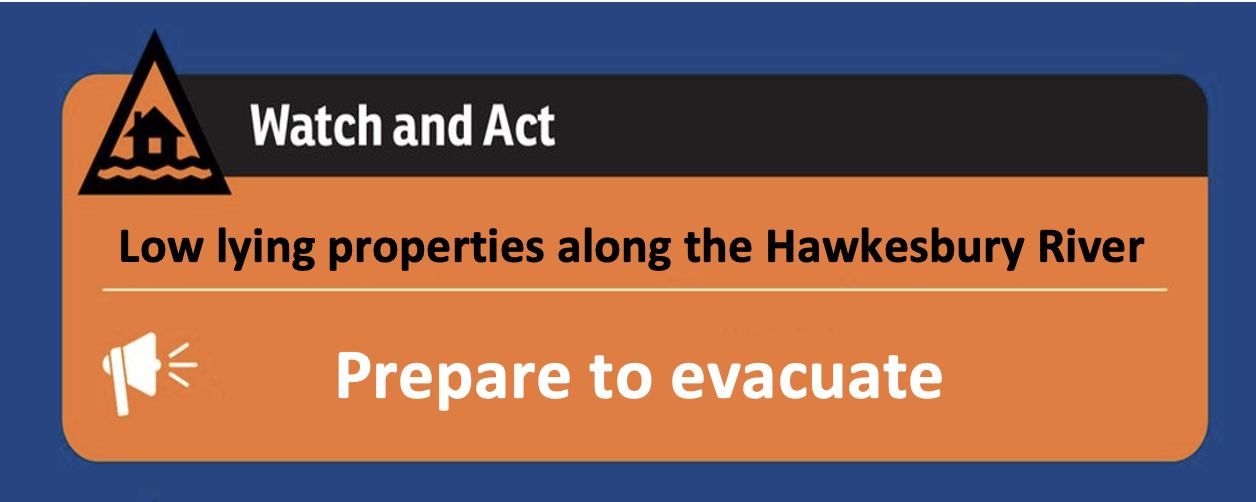
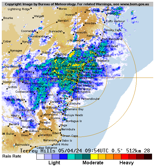
Based on predictions from the Bureau of Meteorology, the NSW SES has issued a Flood Watch and Act – Prepare warning to low-lying properties along the Hawkesbury River.
According to the NSW State Emergency Services, the flood warning means people must prepare to evacuate so they can act quickly if evacuation is necessary.
The NSW SES’ Be Aware’ flood warning stated: “Flooding is likely to cut evacuation routes and potentially inundate property. This warning advises the safest actions for the community to take in a flood emergency.”
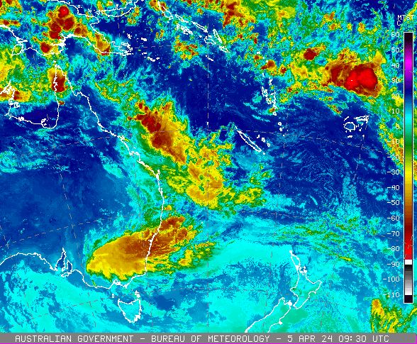
Flood Watch and Act – Prepare to evacuate advise has been issued for:
RICHMOND LOWLANDS AND CORNWALLIS
- Kurrajong Road
- The back of Francis Street
- The back of Dight Street
- Percival Street and Rickabys Creek.
- Bensons Lane
- Cornwallis Road
- Cornwells Lane
- Cupritts Lane
- Gow Lane
- Ingolds Lane
- Old Kurrajong Road
- Onus Lane
- Percival Street
- Powells Lane
- Ridges Lane
- Triangle Lane
PITT TOWN NORTH
- Properties along Hall St, including Percy’s Place Caravan Park
CATTAI
- Riverside Caravan Park
GRONOS POINT
- Properties along Gronos Farm Road and Manns Road.
SACKVILLE
- Properties near the intersection of Sackville Road and Tizzana Road.
SACKVILLE NORTH
Following properties:
- 951 Sackville Ferry Road (Anderson Farm)
- All dwellings in 968 Sackville Ferry Road (Ulinbawn Water Ski Park)
- All dwellings in 952 Sackville Ferry Road
- 942 to 968 Sackville Ferry Road
CUMBERLAND REACH
- 450 to 480 Laws Farm Road
- 560 to 600 and 501 Laws Farm Road
LOWER PORTLAND (EAST OF THE HAWKESBURY RIVER)
Properties in the following streets:
- 496 to 608 River Road
- 531 to 659 River Road
- 760 to 918 River Road
- 733 to 901 River Road
- 991 to 1427 and 988 to 1426 River Road
- Newall’s Caravan Park
- Riveria Ski Gardens
HAZARDS NEAR ME APP
All of the warnings are published on the Hazards Near Me app. Please download the app for either IOS or Android and set your Watch Zone to receive alerts as they are being issued for your area. To download the app:


