BOM: Flood Watch for parts of Greater Sydney and other regions (6 June, 2024)
Moderate flooding likely in the Hawkesbury Nepean Valley and the Georges River from Thursday Afternoon
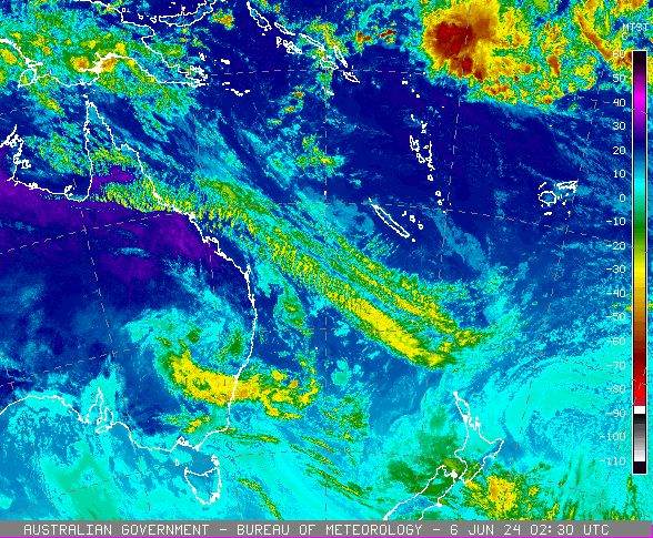
The Bureau of Meteorology shared, on 6 June 2024, that a surface trough extending from the Illawarra region into the Tasman Sea will deepen during Thursday in response to an upper low over New South Wales.
This is likely to bring areas of very heavy rainfall and flooding across the southern parts of the central coast, the Sydney metropolitan area, Illawarra, the northern parts of the south coast, and the adjacent ranges. Abnormally high tides will also impact the low-lying areas along the NSW coast.
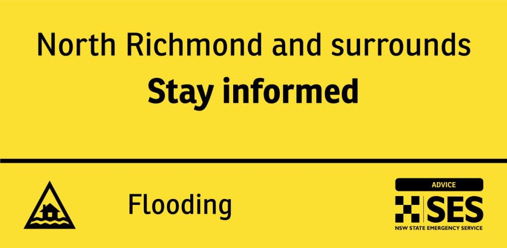
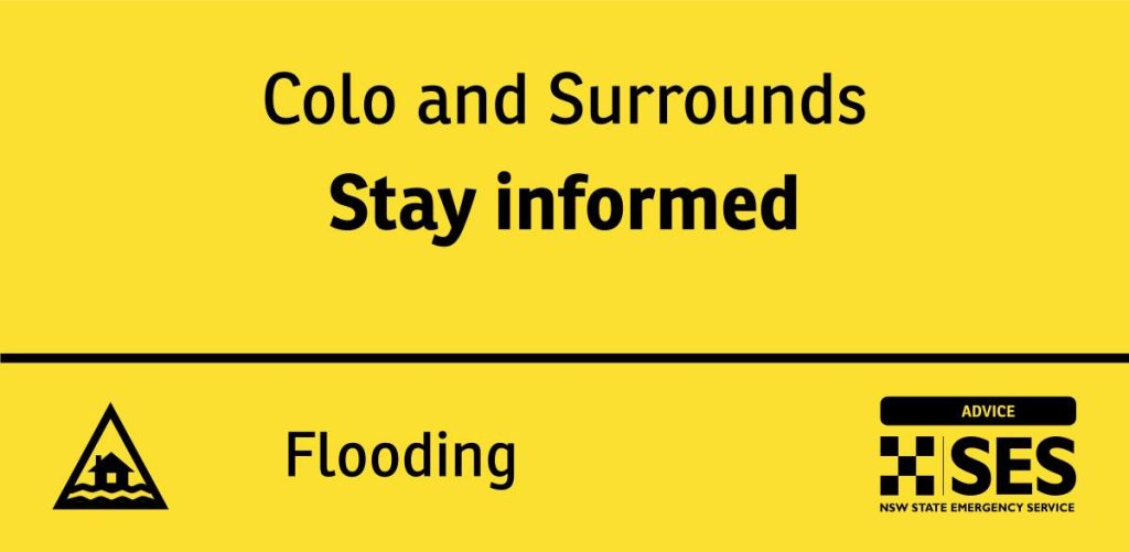
In addition, the NSW State Emergency Services is advising residents of Colo, North Richmond, Windsor, and their surrounding areas, to Stay Informed about the predicted minor flooding.
Catchments are relatively wet after recent rainfall and a Severe Weather Warning is current for heavy rainfall.
BOM mentioned: “Widespread rainfall with two-day totals of 70-150 mm possible during Thursday to Friday, with isolated falls above 250 mm.
“The weather system may cause flooding for the catchments listed from Thursday afternoon. Flood Classes (minor, moderate, major) are only defined for catchments where the Bureau provides a flood warning service.
A Severe Weather Warning for heavy rainfall is current for people in Illawarra and parts of South Coast, Central Tablelands and Southern Tablelands Forecast Districts.”
According to the Bureau, catchments likely to be affected include:
Upper Nepean River moderate flooding
Hawkesbury and Lower Nepean Rivers moderate flooding
Upper Coxs River
Colo River moderate flooding
Macdonald River
Northern Sydney
Southern Sydney
Parramatta River
Cooks River minor flooding (Minor flood warning current)
Georges and Woronora Rivers moderate flooding
Illawarra Coast
Shoalhaven River minor flooding
St Georges Basin minor flooding (Minor flood warning current)
Clyde River
Flooding is no longer expected in the following catchments: Moruya and Deua Rivers.
The BOM also issued a Minor to Moderate Flood Warning on Thursday afternoon for the Hawkesbury and Nepean Rivers in Menangle Bridge, Penrith, North Richmond, and Windsor.
According to the BOM, “Moderate rainfall totals up to 53 mm have been observed across the Hawkesbury Nepean Valley in 24 hours to 9:00 am Thursday.
“Further heavy rainfall is forecast for the remainder of Thursday into Friday. This rain combined with wet catchment conditions and high dam levels has the potential to cause moderate flooding from overnight Thursday onwards,” the Bureau says.
The BOM shares a forecast on the Hawkesbury and Nepean Rivers:
Upper Nepean River:
Minor flooding is likely along the Upper Nepean River at Menangle, with moderate flooding possible.
With forecast rainfall, the Nepean River at Menangle Bridge may exceed the minor flood level (5.20 m) late Thursday evening. Further rises to the moderate flood level (9.20 m) are possible on Friday morning.
Hawkesbury and Lower Nepean River:
Minor to moderate flooding may occur along the Hawkesbury and Lower Nepean Rivers.
With forecast rainfall, the Nepean River at Penrith may reach the minor flood level (3.90 m) Friday afternoon.
With forecast rainfall, the Hawkesbury River at North Richmond (WPS) may reach the minor flood level (3.80 m) Friday afternoon. Further rises to the moderate flood level (7.90 metres) are possible overnight Friday into Saturday.
With forecast rainfall, the Hawkesbury River at Windsor (WPS) may reach the minor flood level (5.80 m) Friday evening. Further rises to the moderate flood level (7.00 m) are possible on Saturday morning.
For the latest flood and weather warnings, see www.bom.gov.au/nsw/warnings/
For the latest rainfall and weather forecasts, see www.bom.gov.au/australia/meteye/
For the latest rainfall and river level information, see www.bom.gov.au/nsw/flood
The Bureau shares flood safety advice during this weather event:
This Flood Watch means that people living or working along rivers and streams must monitor the latest weather forecasts and warnings and be ready to move to higher ground should flooding develop.
Flood Warnings will be issued if Minor Flood Level is expected to be exceeded at key sites along the main rivers for which the Bureau of Meteorology provides a flood warning service.
Severe Weather Warnings will be issued or updated if very heavy rain is forecast or observed.
For more information on the Flood Watch Service: http://www.bom.gov.au/water/floods/floodWarningServices.shtml
FloodSafe advice is available at www.ses.nsw.gov.au
For emergency assistance, call the SES on telephone number 132 500
For life-threatening emergencies, call 000 immediately
The next Flood Watch will be issued by 12:00 pm EST on Friday, 07 June 2024.

