Initial Flood Watch for parts of Hawkesbury Nepean Valley and NSW South Coast

The Bureau of Meteorology has issued an Initial Flood Watch for parts of the Hawkesbury Nepean Valley and the state’s South Coast on Friday (2:02 PM EST), 10 May 2024.
According to the Bureau, isolated minor riverine flooding is possible: “[P]ersistent coastal showers are forecast along much of the east coast throughout Friday before an upper trough brings widespread rain and thunderstorms across much of New South Wales late Friday and throughout the weekend.”
“The heaviest rainfall is expected along the South Coast. This rainfall may cause isolated minor flooding in parts of the Hawkesbury Nepean Valley, St Georges Basin and Moruya catchments,” the weather agency said in its Flood Watch.
“Catchment are quite wet along much of the NSW coast due to rainfall and isolated flooding in recent weeks.”
“The weather system may cause flooding for the catchments listed from Saturday. Flood Classes (minor, moderate, major) are only defined for catchments where the Bureau provides a flood warning service.”
As of this writing (11 May, 7:37 PM EST), catchments likely to be affected include:
-
- Hawkesbury and Lower Nepean Rivers minor flooding
- Upper Coxs River
- Colo River minor flooding
- St Georges Basin minor flooding
- Clyde River
- Moruya and Deua Rivers moderate flooding
- Bega River minor flooding
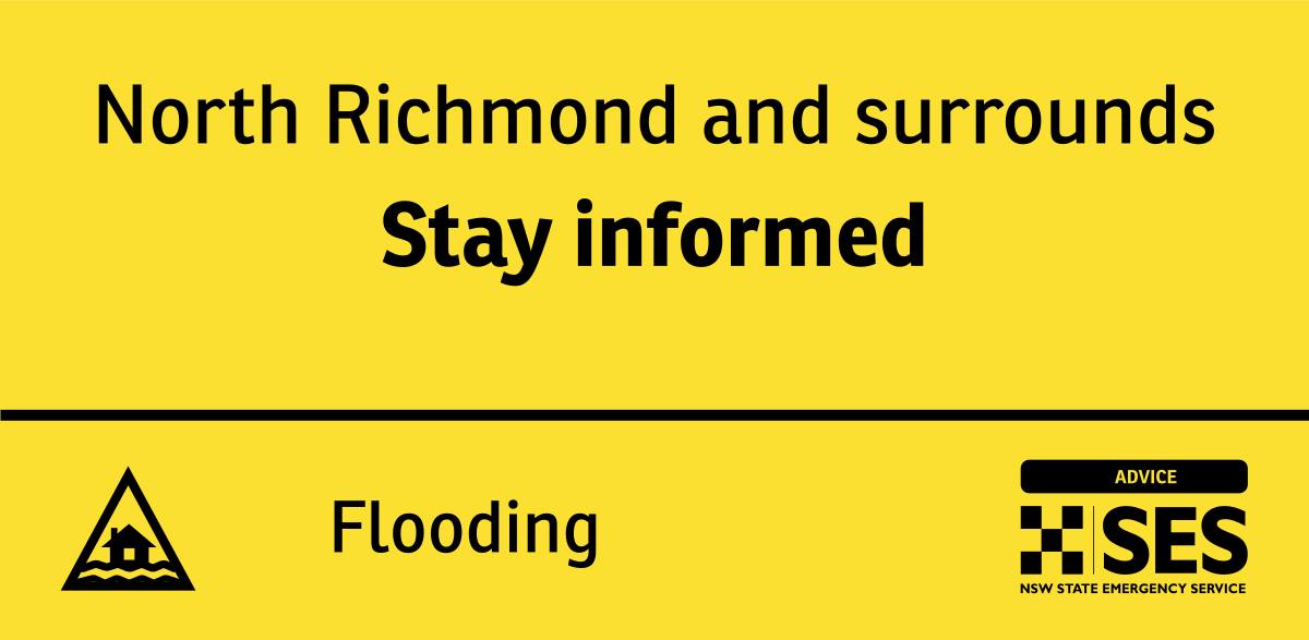
The NSW State Emergency Services also cautioned residents of North Richmond and its surrounding areas to stay informed about the possible minor flooding over the weekend.
Meanwhile, NSW SES Assistant Commissioner Nicole Hogan mentioned that the main risk associated with the initial forecast was flash flooding, but minor riverine rises were possible.
“We’re closely monitoring the weather and are prepared to respond swiftly to any emergencies that may arise,” Assistant Commissioner Hogan said.
“Our teams are on standby, and we have prepositioned people and assets to assist the community and mitigate the impacts of heavy rainfall.”
“Flash flooding can occur rapidly and without warning, posing a significant risk to life and property. People should where possible, stay indoors during heavy rainfall and avoid driving or walking through floodwaters.”
The Bureau of Meteorology shares that a Flood Watch means that people living or working along rivers and streams must monitor the latest weather forecasts and warnings. They must be ready to move to higher ground should flooding develop, and when Services announce an evacuation.
Flood Warnings will be issued if Minor Flood Level is expected to be exceeded at key sites along the main rivers for which the Bureau of Meteorology provides a flood warning service.
Severe Weather Warnings will be issued or updated if significant rain is forecast or observed.
The Bureau also shares where to find more information on the Flood Watch and other concerns:
-
- For the latest flood and weather warnings, see www.bom.gov.au/nsw/warnings/
- For the latest rainfall and weather forecasts, see www.bom.gov.au/australia/meteye/
- For the latest rainfall and river level information, see www.bom.gov.au/nsw/flood
- Service: http://www.bom.gov.au/water/floods/floodWarningServices.shtml
- FloodSafe advice is available at www.ses.nsw.gov.au
- For emergency assistance, call the SES on telephone number 132 500
- For life-threatening emergencies, call 000 immediately


